
- Greater Long Island
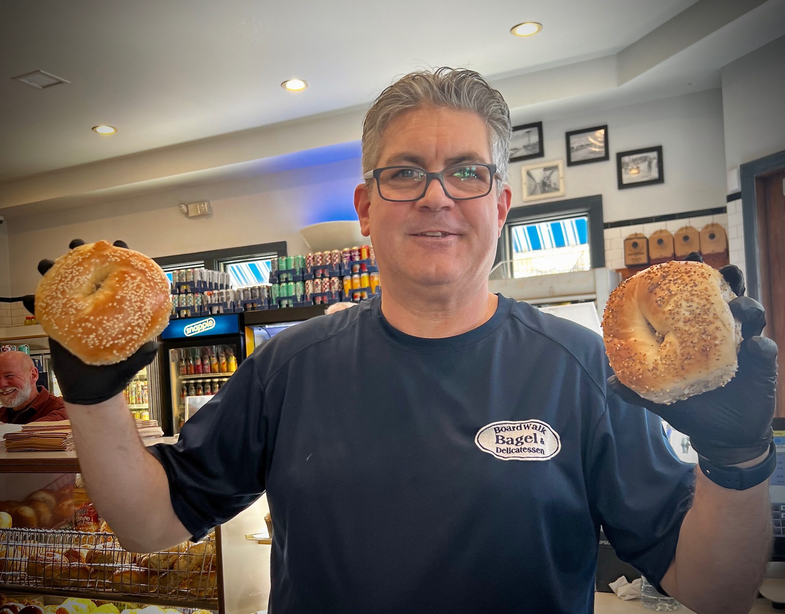
Mike White
- |
- Apr 13, 2024

Latest Stories

Nick Esposito | Apr 17, 2024

Mike White | Mar 30, 2024
Dana Lostritto | Mar 19, 2024

Greater Long Island Sponsored
Mike White | Feb 20, 2024

Nick Esposito | Dec 30, 2023

Mike White | Dec 07, 2023

Mike White | Nov 28, 2023

Mike White | Nov 25, 2023

Greater Long Island Sponsored
Staff | Sep 18, 2023

Nick Esposito | Aug 17, 2023

Nick Esposito | Aug 09, 2023

Mike White | Aug 01, 2023

Mike White | Jul 26, 2023

Nick Esposito | Jul 20, 2023

Nick Esposito | Jul 17, 2023

Nick Esposito | Jul 14, 2023
Mike White | Jul 14, 2023

Associated Press | Jul 08, 2023

Associated Press | Jul 06, 2023

Starr Fuentes | Jun 25, 2023

Greater Long Island Sponsored
Mike White | Jun 22, 2023

Starr Fuentes | Jun 21, 2023

Staff | Jun 19, 2023

Greater Long Island Sponsored
Brian Harmon | Jun 12, 2023

Mike White | Jun 06, 2023

Staff | May 26, 2023

Mike White | May 19, 2023

Starr Fuentes | May 18, 2023

Mike White | May 11, 2023

Greater Long Island Sponsored
Mike White | May 08, 2023

Nick Esposito | May 06, 2023

Greater Rockville Centre Sponsored
Mike White | Apr 20, 2023

Sam Kinsley | Apr 17, 2023


Julianne Mosher | Mar 31, 2023

Mike White | Mar 16, 2023

Julianne Mosher | Mar 15, 2023

Brian Harmon | Mar 09, 2023

Brian Harmon | Mar 09, 2023

Nick Esposito | Mar 09, 2023

Satin Widrow | Mar 07, 2023
Associated Press | Mar 04, 2023
Recommended


